Unlocking the past: Photogrammetry for Archaeology
Archaeology is a field that thrives on meticulous detail and accurate documentation. Recording and preserving artifacts, sites, and cultural heritage is vital for understanding history, but traditional methods of recording and sharing archaeological discoveries can be time-consuming and limited in scope. Photogrammetry is revolutionizing the way archaeologists work, offering a powerful tool to document, analyze, and share findings with unprecedented precision.
What is Photogrammetry?
Photogrammetry uses high-resolution photographs to create detailed 3D models of objects, landscapes, and excavation sites. This cutting-edge technology captures even the smallest features, enabling archaeologists to preserve and study historical artifacts and locations in their true-to-life form.
Why Photogrammetry is Essential for Archaeology
Detailed Documentation: Create highly accurate 3D records of artifacts, structures, and excavation sites.
Non-Invasive Methods: Preserve fragile sites and artifacts without physically handling them.
Improved Analysis: Study models in detail, from artifact inscriptions to site stratigraphy, without needing constant access to physical locations.
Global Accessibility: Share 3D models with researchers and educators worldwide, enabling collaboration and outreach.
Cultural Preservation: Digitally preserve endangered sites and artifacts for future generations.
Applications of Photogrammetry in Archaeology
Artifact Preservation: Digitally capture artifacts for detailed study, restoration, or replication.
Safer Survey: Sometimes a site is not safe to enter. In these cases, UAV (Unmanned Aerial Vehicles or drones) can be used to create highly accurate photogrammetric models of the area which can then be used for survey and measurement without risking anyone’s safety.
Orthographic Photos: Especially in buildings archaeology, photogrammetry has long been used to help create orthophotos, or images that contain no angle distortion, so accurate measurements can be taken for use in later reporting.
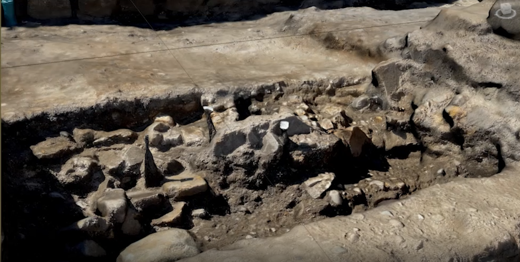
Site Mapping: Generate 3D models of excavation sites to document layouts and stratigraphy in real-time.
Heritage Conservation: Capture and preserve cultural landmarks under threat from environmental or human impact.
Educational Tools: Use 3D models to create virtual exhibits and interactive learning experiences.
Research Collaboration: Share photogrammetry data with global teams, enabling interdisciplinary research on ancient sites and artifacts.
For example, photogrammetry can be used to create a digital replica of a fragile pottery shard, allowing researchers to analyze its design and manufacturing techniques without risking damage. It can also document an excavation site in stunning detail, preserving its layout for further study long after the dig is complete.
Why Choose Our Photogrammetry Services for Archaeology?
With expertise in photogrammetry and heritage preservation, we provide high-quality 3D models that meet the rigorous standards of archaeological research. Whether you need to document a dig site, preserve artifacts, or share discoveries with the public, our services ensure your work is accurately and beautifully captured.
Preserve History with Precision
Ready to revolutionize your archaeological projects? Contact us today to explore how photogrammetry can help you uncover, study, and share the past like never before.
