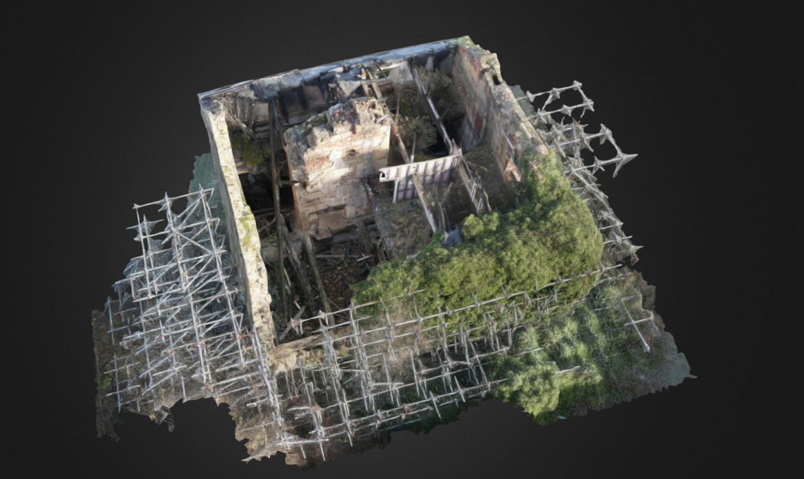
CFA Archaeology Drone Survey
Client:
CFA Archaeology
Industry:
Archaeology
Final Product:
Archaeological survey measurements
Techniques:
Drone photogrammetry (SFM)
Orthophotos
Post-processing
Date & Duration:
2022, 1.5 weeks
Objective
CFA Archaeology were working on surveying this undisclosed building which had suffered fire damage in its past. The resulting structural damage meant that it was no longer safe for people go within the walls, even to perform necessary buildings survey, before it was torn down. Therefore, they reached out to have a photogrammetric survey performed which would allow for recording, orthographic imaging, and accurate measuring to be performed.
Approach
Because the fire had taken the roof, it was possible to do a photogrammetric survey entirely using a drone or Sfm (Structure-from-Motion). Several passes were completed, capturing different angles of each wall and feature. This imagery was then processed using Agisoft Metashape to create the resulting 3D model.
Also using Metashape, orthographic images were created from the model of each wall, allowing features to be captured and for accurate measurements to be taken by the archaeologists. Orthographic images are distortion-free visual representations of surfaces or objects that are particularly valuable in archaeology. Unlike perspective images, orthographic images eliminate depth distortion, allowing precise measurements to be taken directly from the image.
Outcome
High-quality orthographic images were produced and handed over to the team at CFA Archaeology as well as an obj version of the original photogrammetry model. This was in case their clients would like to have a record of the building after it had been torn down. This information was used toward the overall report given to the client by the team at CFA to complete their survey of this historic building.
Innovation
Drone-based photogrammetry and orthographic imaging was used to overcome challenges posed by the unsafe condition of the fire-damaged building. Using drones for the photogrammetry survey allowed for detailed data collection from a distance without compromising safety. The Structure-from-Motion (SfM) approach ensured a high-resolution and detailed 3D model. This method captured not only the overall structure but also fine details of walls and features. The creation of distortion-free orthographic images enabled the team to analyze and document the structure accurately without needing physical access. By producing an OBJ version of the photogrammetry model, the project preserved a digital record of the historic building for future reference, even after its demolition. This approach ensures the building's legacy and information remain accessible.
This project showcases how combining drone technology, photogrammetry, and advanced software like Agisoft Metashape can deliver safe, efficient, and highly accurate results in challenging conditions, making it a valuable approach for archaeological and heritage applications.
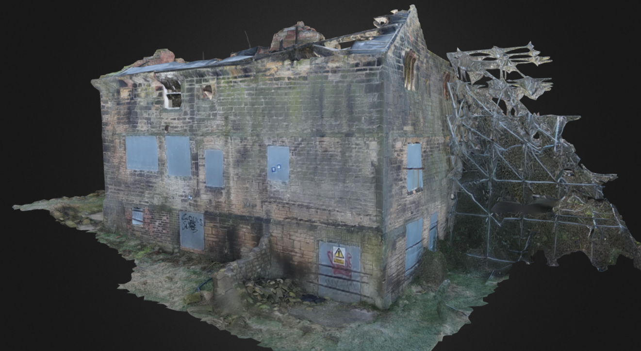
A view of the model from the side
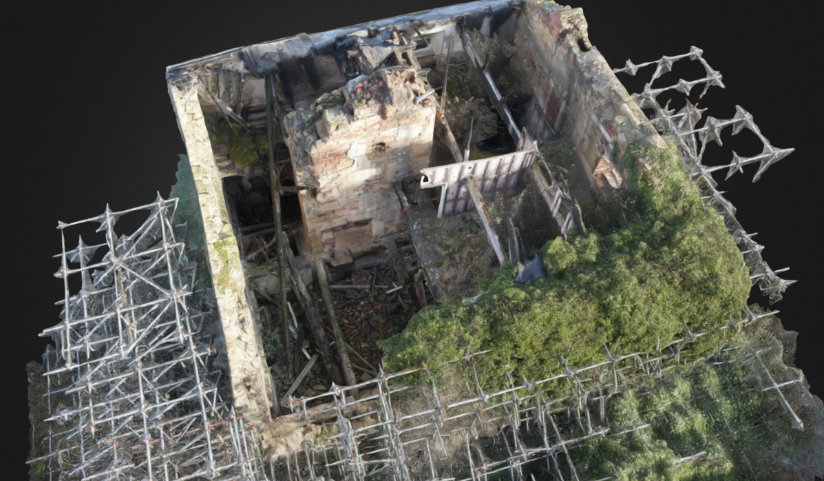
A view of the model from above
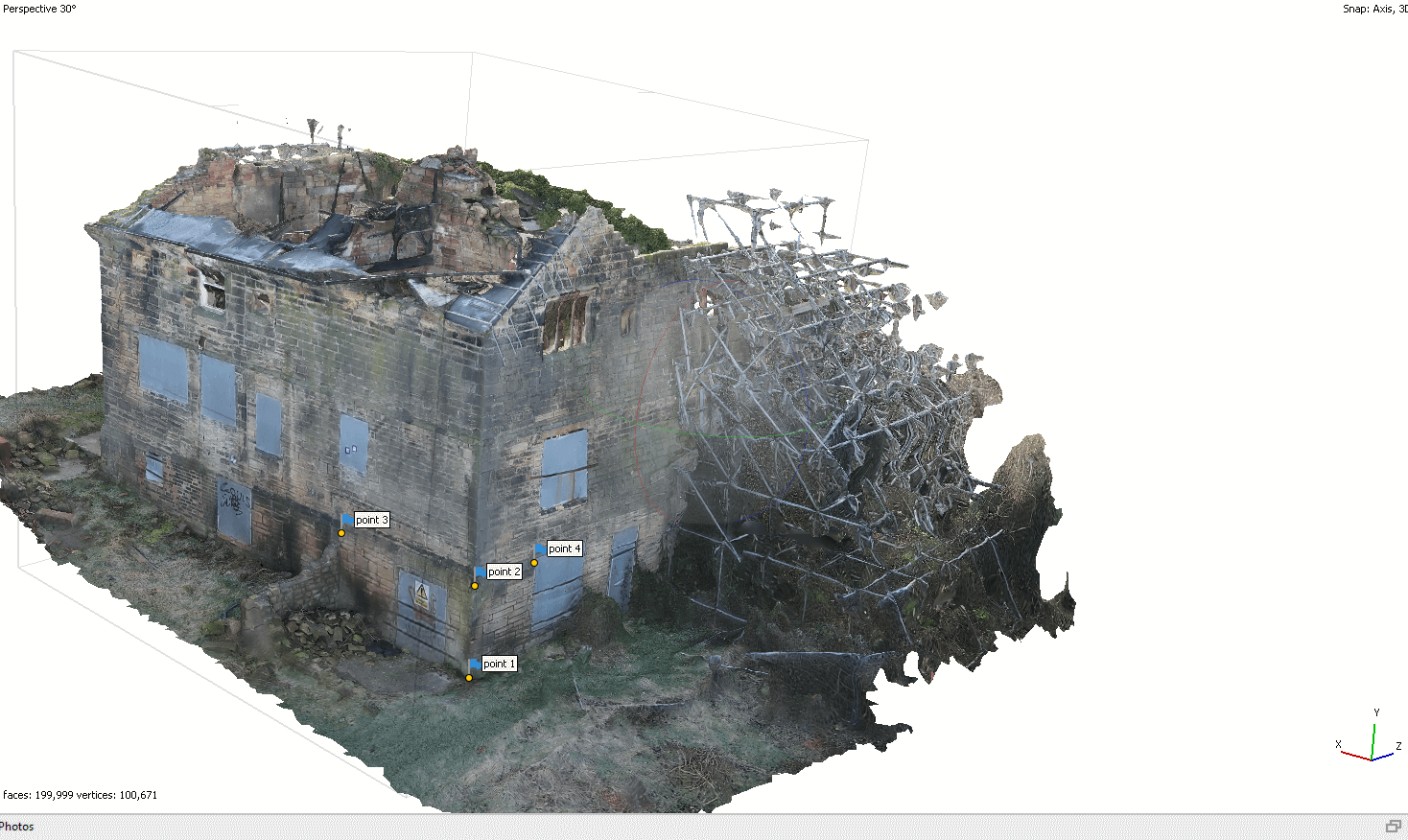
The model marked for accurate measurement
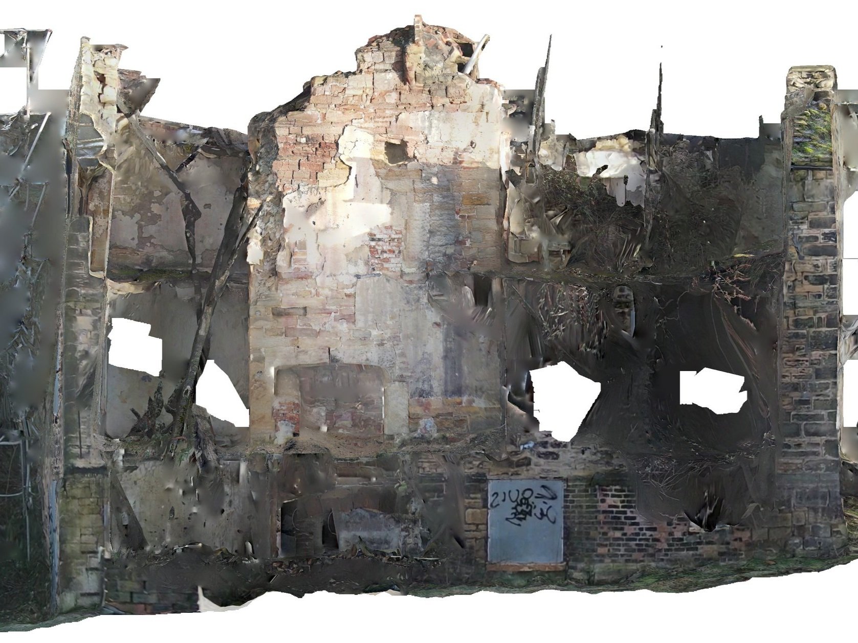
One of the orthographic images created from the interior of the model