Veracity in every vertex
Our
Services
-

3D Imaging
On-site photogrammetry for objects, buildings, or documents.
-

Drone photography
Photogrammetry of buildings, landscapes, and other larger projects.
-

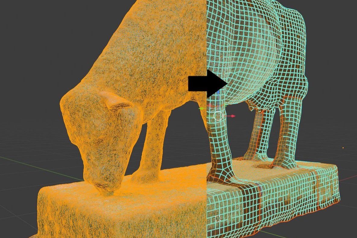
Post processing & Model Cleanup
Processing existing image sets, models, or scans.
-

Photogrammetry Training
We teach the basics so you can get started on your own photogrammetry projects
Our
Projects
Ready to transform your vision into Digital reality?
Bring your projects to life with high-quality 3D models. Whether you’re in architecture, construction, engineering, or heritage preservation, our photogrammetry services help you explore, analyse, and share your projects in immersive detail. We convert complex environments and objects into realistic digital replicas, enhancing your visualisation, planning, and analysis capabilities.
FAQs
-
Photogrammetry, very basically, is the creation of a digital 3D model using strategically-taken photography. Click here to learn more
-
There are many different use-cases for photogrammetry. These include
Environment and land management
Construction and architecture
Film and entertainment
Agriculture
Urban planning
Mining and geology
Archaeology and heritage preservation.
Learn more about how photogrammetry is being used in numerous industries.Check out our blog for Industry-specific content.
-
Hardware and software can vary depending upon the provider and the project requirements.
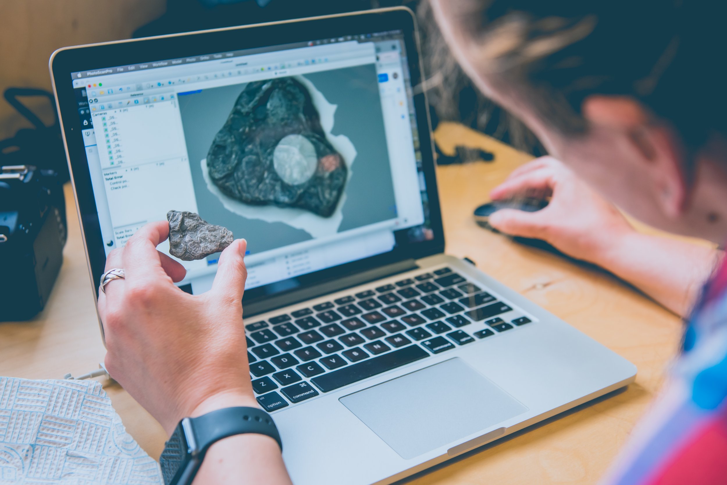
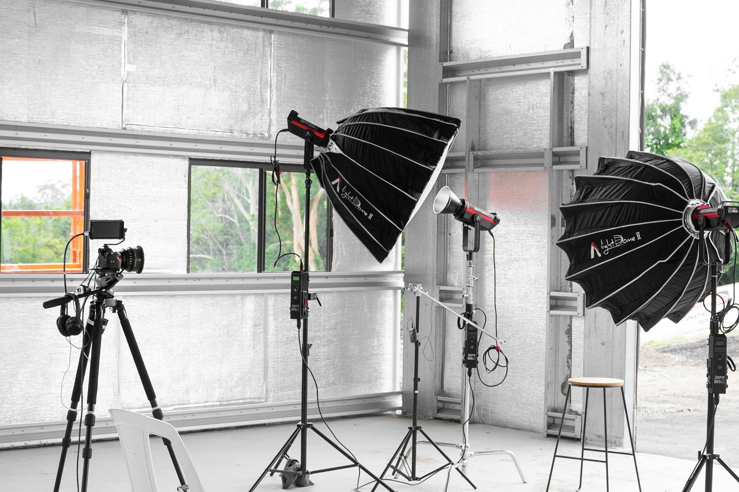
At Veratex, our hardware includes DSLR cameras and drones as well as light kits. We use software such as Agisoft Metashape and Blender to process and edit.
-
Photogrammetry project costs can vary widely depending on the requirements. We start with a base pricing structure dependent upon the size of the object area being captured. Then things like post-processing requirements can add to that.
For a full breakdown of how we cost projects, check out this blog
-
Project length is another variable that varies widely depending on the project requirements. A simple model may only take a few hours while a complex project could require several weeks.
Since 2017, we’ve been dedicated to transforming the real world into detailed, digital 3D models through expert photogrammetry capture and meticulous post-processing. Using both aerial and traditional photography, we bring objects, buildings, and landscapes to life in digital form. Our 3D models serve diverse needs—from conservation and educational interpretation to immersive interactions and accurate digital archiving. Whatever your vision, we’re here to make it a reality through the power of photogrammetry.
Photogrammetry Services
So What exactly is Photogrammetry?
Photogrammetry is a technique for creating detailed 3D models by using strategically captured photos or videos. Specialised software, such as Agisoft Metashape or RealityCapture, analyzes these images, identifying matching points across them to map the object in 3D space. The software generates a digital mesh, the structural framework of the model.


